
Keyword
Research Voyage: SS 08/2004
5 record(s)
Type of resources
Topics
Keywords
Contact for the resource
Provided by
Formats
Representation types
Update frequencies
Status
draft
-
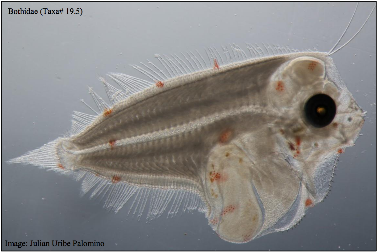
This dataset contains the ichthyoplankton data from three National Reference Stations on the east coast of Australia (North Stradbroke Island, Port Hacking, and Maria Island), and comparable historical data from eight ichthyoplankton surveys that were used to provide a longer term context: RV Sprightly (1983) RV Challenger (1989-1991) RV Franklin (1994) RV Franklin (1997-1998) RV Franklin (1998-1999) RV Southern Surveyor (2004) RV Investigator (2015) FRV Kapala (1989-1993) Refer to the published report which had the following goals: - To evaluate the value of long-term monitoring of ichthyoplankton at selected locations in the Integrated Marine Observing System (IMOS) National Reference Station (NRS) network, - To identify the potential of this monitoring for providing fishery-independent information relevant for marine fishes and their management. Note - Currently only the data from the IMOS NRS Stations have been made available.
-
This dataset contains the Acoustic Doppler Current Profiler (ADCP) data collected on Southern Surveyor voyage SS 08/2004. This voyage took place between Sydney and Brisbane off the New South Wales and Queensland coast in September 2004. This dataset has been processed and archived within the CSIRO Marine and Atmospheric Research Data Centre in Hobart. Additional information regarding this dataset is contained in the cruise report for this voyage and/or the data processing report (as available).
-
This dataset contains the Conductivity-Temperature-Depth (CTD) data collected on Southern Surveyor voyage SS 08/2004. The voyage took place off the New South Wales and Queensland coast in September 2004. This dataset has been processed and archived within the CSIRO Marine and Atmospheric Research Data Centre in Hobart. Additional information regarding this dataset is contained in the Voyage Summary and the Data Processing Report.
-
This dataset contains the Conductivity-Temperature-Depth (CTD) data collected using the towed profiling Bunyip/Seasoar platform on Southern Surveyor voyage SS 08/2004. The voyage took place between Sydney and Brisbane off the New South Wales and Queensland coast between 2-13 September 2004. This dataset has been processed and archived within the CSIRO Marine and Atmospheric Research Data Centre in Hobart. Additional information regarding this dataset may be contained in the Voyage Summary and the Data Processing Report (as available).
-
This dataset contains the Underway (UWY) data collected on Southern Surveyor voyage SS 08/2004. The voyage took place off the east coast of New South Wales and Queensland in September 2004. This dataset has been processed and is archived within the CSIRO Marine and Atmospheric Research Data Centre in Hobart. Additional information regarding this dataset is contained in the voyage plan and voyage summary. The standard Underway (=continuously recorded) dataset from a research voyage includes Navigation (NAV), Sounder (PDR), Thermosalinograph (TSG) and Meteorological (MET) data. NAV data includes GPS (Global Positioning System) measurements of latitude, longitude, ship's direction and speed. MET data may include atmospheric temperature, humidity and pressure, wind speed and direction, and incident radiation intensity. The data are available at 10 second intervals in the NetCDF file, or at five minute intervals in the standard ASCII file.